Geography Of The Iberian Peninsula And Its Territorial Organization
In this article we will talk about the geography of the Iberian Peninsula and its territorial organization. But, taking into account that four different states coexist on this peninsula –Andorra, Spain, Portugal and the United Kingdom–, we will focus on the territorial organization of the Spanish State.
We must bear in mind that the process of territorial configuration of any state depends on three determining factors : the natural conformation or the physical environment, the historical foundations and political decisions. That is why we are going to divide the text into these three sections.
The physical environment of the Iberian Peninsula
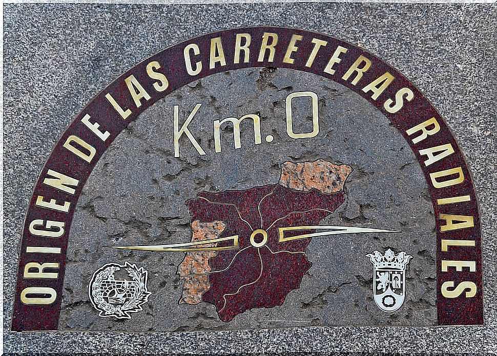
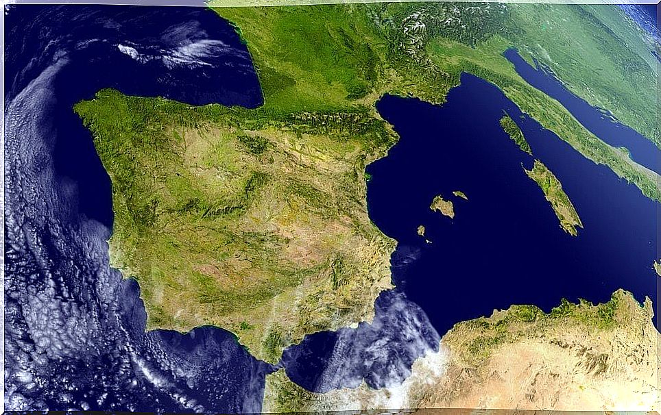
The Iberian Peninsula is a vast trapezoidal surface that is located in the extreme southwestern part of Europe. It is located between the parallels 36º and 44ºN and the meridians 4ºE -10ºW. Its peninsular character, which positions it between different bodies of water, and its geographical location have an impact on temperatures.
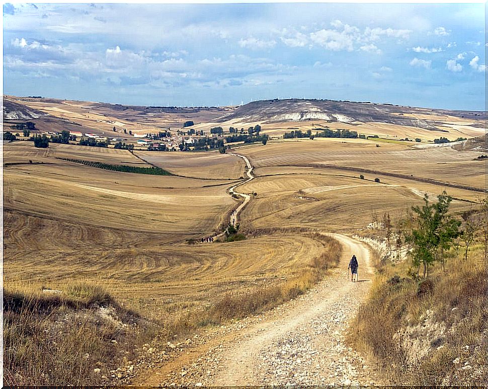
The interior of the peninsula is formed by a plateau that, with 400,000 km², occupies 68% of the peninsular territory. It has an average height of 600 meters above sea level and is surrounded by a mountainous belt. This accentuates its continental features by reducing maritime influence.
The consequences of this mountainous enclosure are the existence of high thermal contrasts and the reduction of rainfall. Thus, the temperature in summers exceeds an average of 24º C, while in winter the average is around 2º C. This marks a thermal amplitude of about 20 degrees.
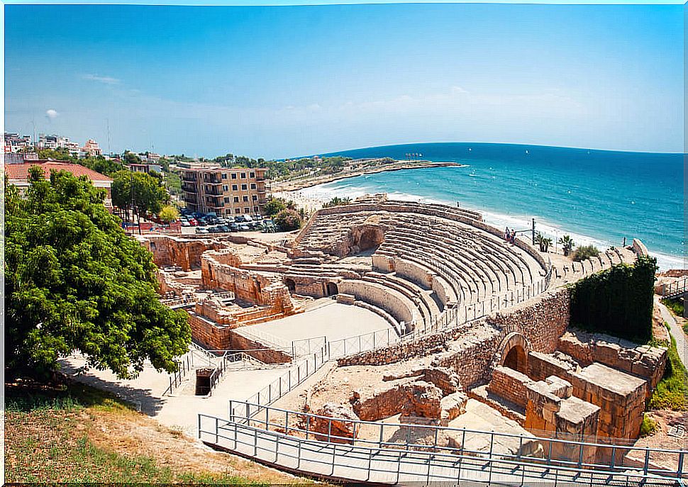
Around the plateau and, even within it, we find great mountain ranges, valleys and peripheral depressions. These contrast with the inland plains and the coastal fringes. The coastline is rocky and cliffs along the entire northern strip and in the southeast. The east and south coastline is softer and there are many lagoons and beaches.
Population distribution in peripheral areas
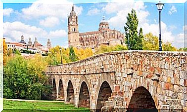
The less extreme climatic conditions of the coastline, regulated by the sea, and the greater ease of developing agricultural and commercial activities in these areas were, throughout history and especially in the 20th century, favoring the concentration of the population in these areas from the coastline and the peripheral valleys.
In this way, we can see how today the majority of the peninsular population is concentrated in these regions. In the following table, in which we expose the main metropolitan areas of the Iberian Peninsula, we can visualize this reality.
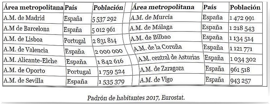
With the exception of the metropolitan area of Madrid, we observe how large population agglomerations are found in the coastal areas or in the Ebro and Guadalquivir valleys. Having seen this, we are now going to talk about what the Spanish territorial organization is and how it has evolved through history.
Historical foundations of territorial organization
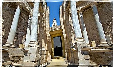
Many have been the peoples who, throughout history, have inhabited the Iberian Peninsula. Despite this, the first to establish a political-administrative organization were the Romans.
We could expand widely on the territorial division of the peninsula in Roman times and its later stages: Visigoths, Arabs, etc. But what interests us is to go back to the moment when the current territorial organization began to take shape.
Many point out that the origins of the Spanish state go back to the union between the kingdoms of Castile and Aragon. It is worth saying that this union was only dynastic and that each kingdom maintained its structure as an independent kingdom. In this way, customs, institutions, laws, currency, etc. endured. they had before the union.
This way of administering the territory of the peninsula with different independent kingdoms under the same monarchy survived until the 18th century. Then, a succession crisis triggered a war, that of succession. Through this, the Bourbons took control of the territory that is now Spain. Portugal only belonged to the Hispanic monarchy for a short period of time (1580-1640).
After 12 years of warlike conflicts, the Bourbons, once on the throne, tried to build a more centralized state according to the absolutist model. To do this, they had to substantially modify the spatial planning. The first necessary step was to eliminate any differences and peculiarities within the territory.
Decrees of Nueva Planta
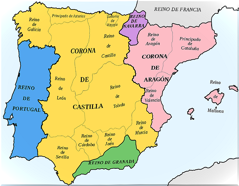
In order to eliminate any heterogeneity within the territory and build a homogeneous kingdom, the so-called New Plant decrees were carried out. With them the charters, customs and the particular political system of the kingdoms of the Aragon Crown were eliminated.
The Bourbons began to organize the territory through municipalities that brought together all administrative powers. But, in this century the demarcations were characterized by an enormous inequality of size and irregularity in the limits.
Despite the standardizing nature of Bourbon policies, it was not possible to homogenize the entire territory. Many peculiarities were maintained, especially for the Basque provinces and Navarra.
But the enlightened mentality of the moment did not look favorably on these particularities or the disparity in territorial separation. For this reason, a series of projects were started that had the purpose of organizing the territory in a more rational way that would allow improving administration and governance.
Territorial organization in the 19th century
With the Napoleonic invasion, a territorial model divided into departments was established. The José María Lanz project was the first major Spanish territorial division project. He divided the territory into 38 departments or prefectures. With this new, more modern and rational division, historical and irregular divisions were eliminated and replaced by straight lines and natural features.
The Cortes de Cádiz also undertook plans for territorial organization. The Cortes divided the territory into 38 provinces. But the return of Fernando VII ended the Constitution of Cádiz and the division returned to the 18th century.
In January 1822, during the Liberal Triennium, a provisional division of the territory into 52 provinces was approved that obeyed rational criteria: population, extension and geographical coherence. This project failed to materialize, since in 1823 absolutism was reinstated.
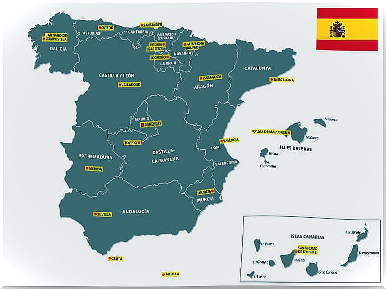
In 1833, Javier de Burgos made a new territorial division from the project of 1822. But in this new division three provinces were eliminated, so the territory was divided into 49. Until 1863 some limits were rectified and in the year In 1927 the Canary Islands were divided in two. This organization, fundamentally, is what we have today.
To this provincial division, another one must be added, the autonomies. These arose as a result of the constitution of 1978 through which the national territory was divided into 17 autonomous communities and two autonomous cities. The state of the autonomies in which we live today was born.